|
Process maping history. The first half of the XIXth century
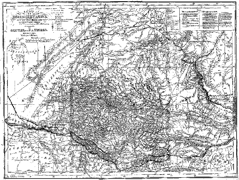
Map of russian Altai, published in Berlin in 1839
for Karl Ritter's book "Erdkunde"
Legend of the map;
Teletskoje Lake;
Upper part of the Katun;
Charishsk city;
Border with China;
Information about the map
|