|
Process maping history. The first half of the XIXth century
Situation of the Teletskoje Lake
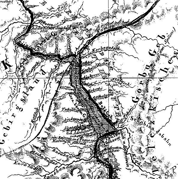
Fragment of the map of Russian Altai, published in Berlin in 1839
General view;
Legend of the map;
Upper part of the Katun;
Charishsk city;
Border with China;
Information about the map
|