|
Process maping history. The first half of the XIXth century
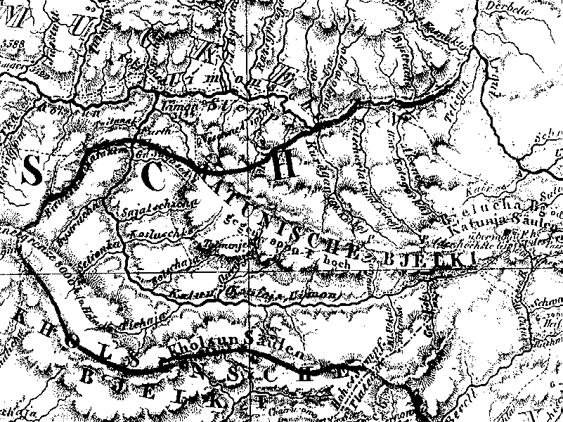
Upper part of the Katun and the mountain Beluha
Fragment of the map of Russian Altai, published in Berlin in 1839
General view;
Legend of the map;
Teletskoje Lake;
Charishsk city;
Border with China;
Information about the map
|