|
Process maping history. The second half of the XVIIIth century
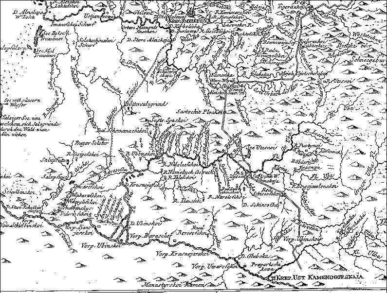
Russian border fortifications in Altai:
old Kolivan and new Kolivan-Kuznetsk line
Fragment of the map, published in the book of P.S. Pallas in 1773
part of the map to the north from the fragment
Information about the map
|