|
Process maping history. The first half of the XVIIIth century
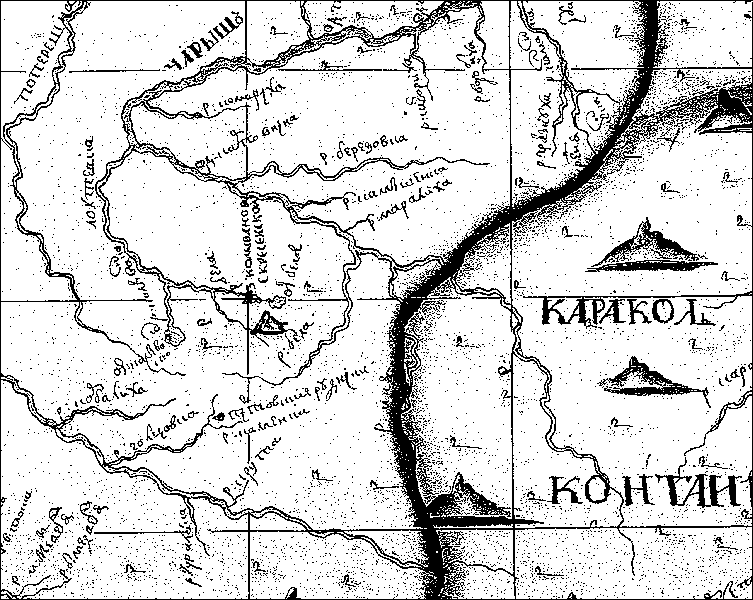
Border of Russian possessions in the Upper Aleji and the Upper Charish
in Altai in the 1730-s
Fragment of the "Landcart of the Tomsk and Kuznetsk districts" 1736
Another fragment of the map
Information about the map
|